Photos from the Soonish Eclipse Road Trip of 2017
/ Wade RoushFor your viewing enjoyment, here a few of my best shots from Gettysburg, PA, Future City, IL, and Makanda, IL. For the full story behind these images, listen to Soonish Episode 2.01, Shadows of August: The Eclipse Road Trip Edition.
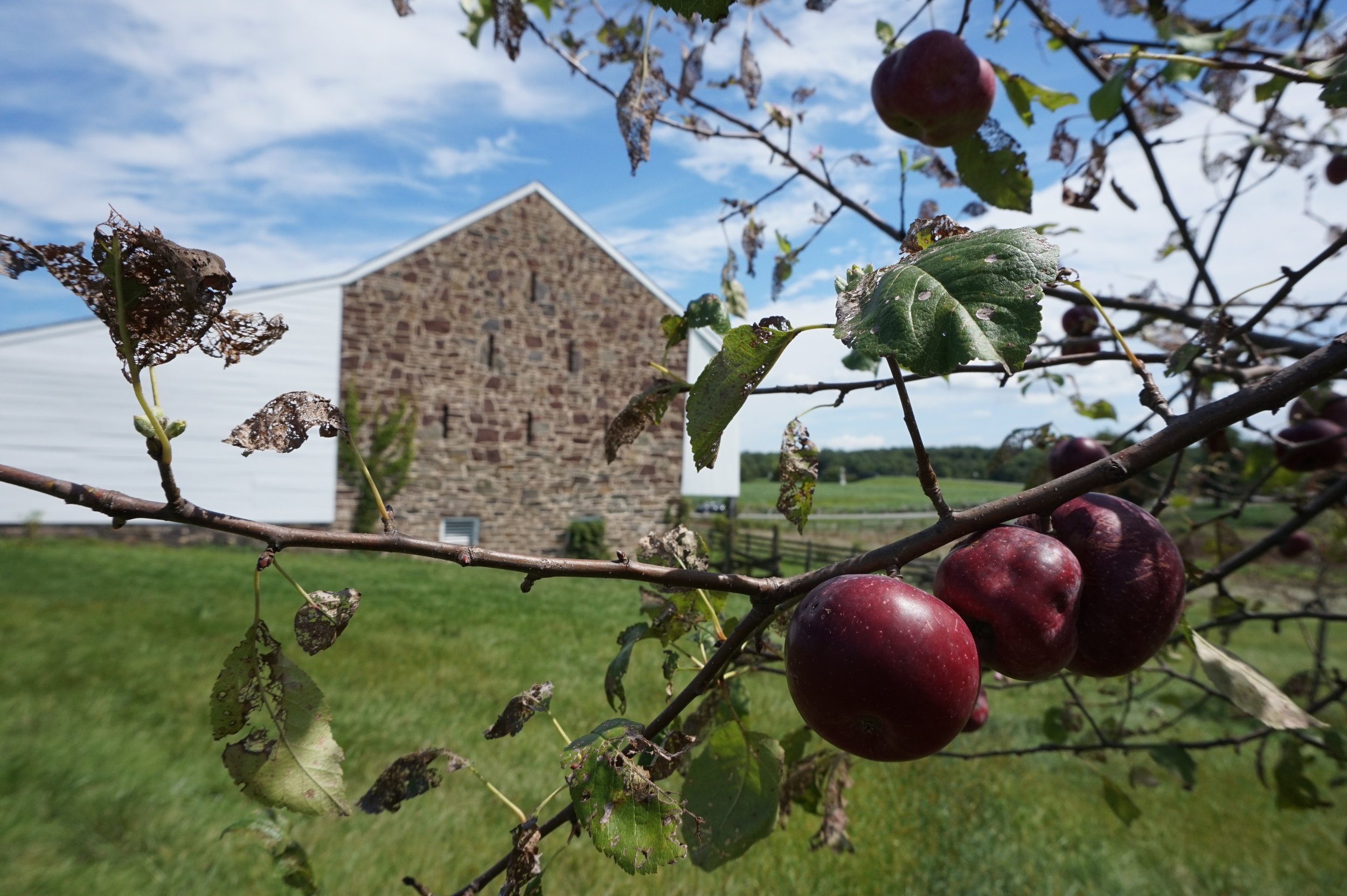
The McPherson barn, where the fighting began at Gettysburg on July 1, 1863.
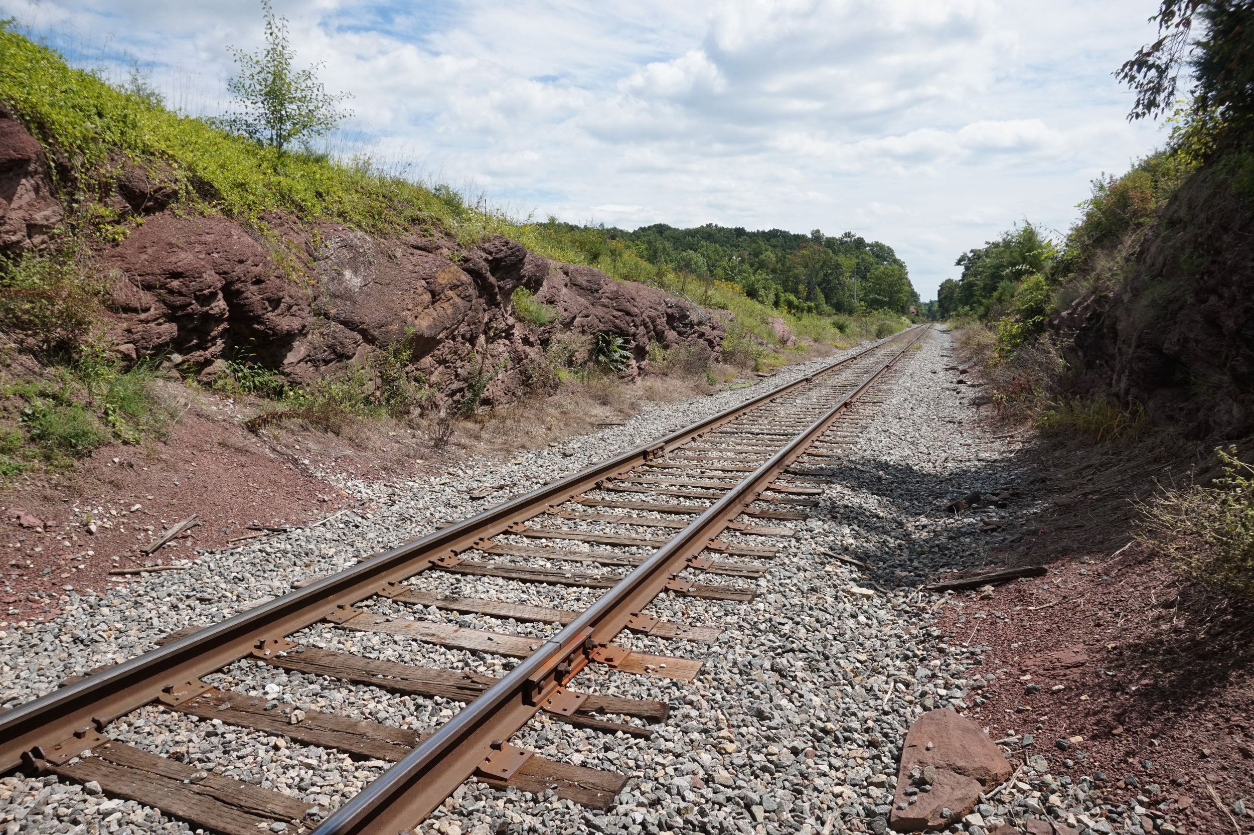
The Railway Cut, where the Union Army of the Potomac attempted to hold off the advancing Army of Northern Virginia on the morning of July 1, 1863.
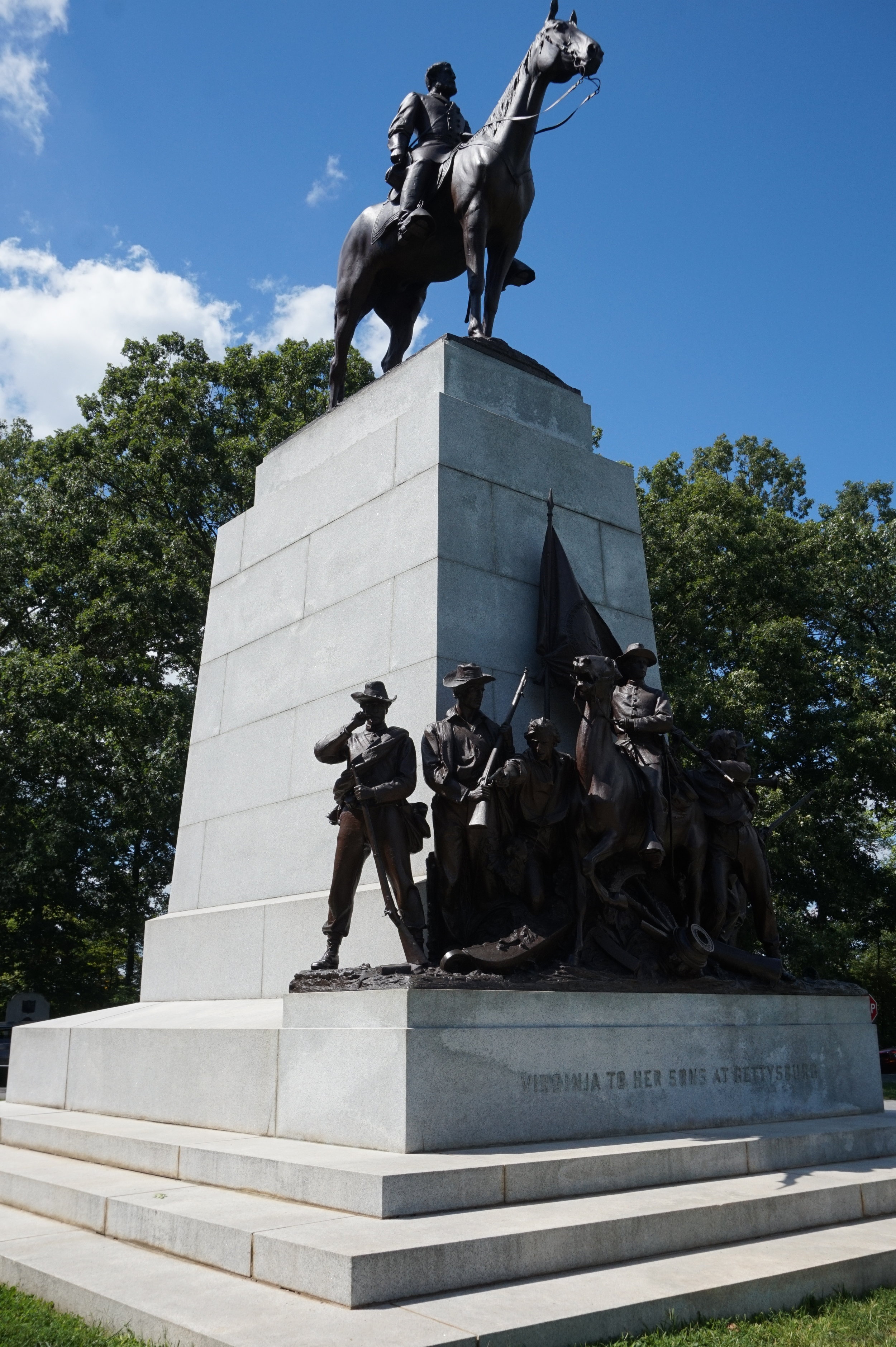
The statue of Robert E. Lee at the Virginia Memorial.
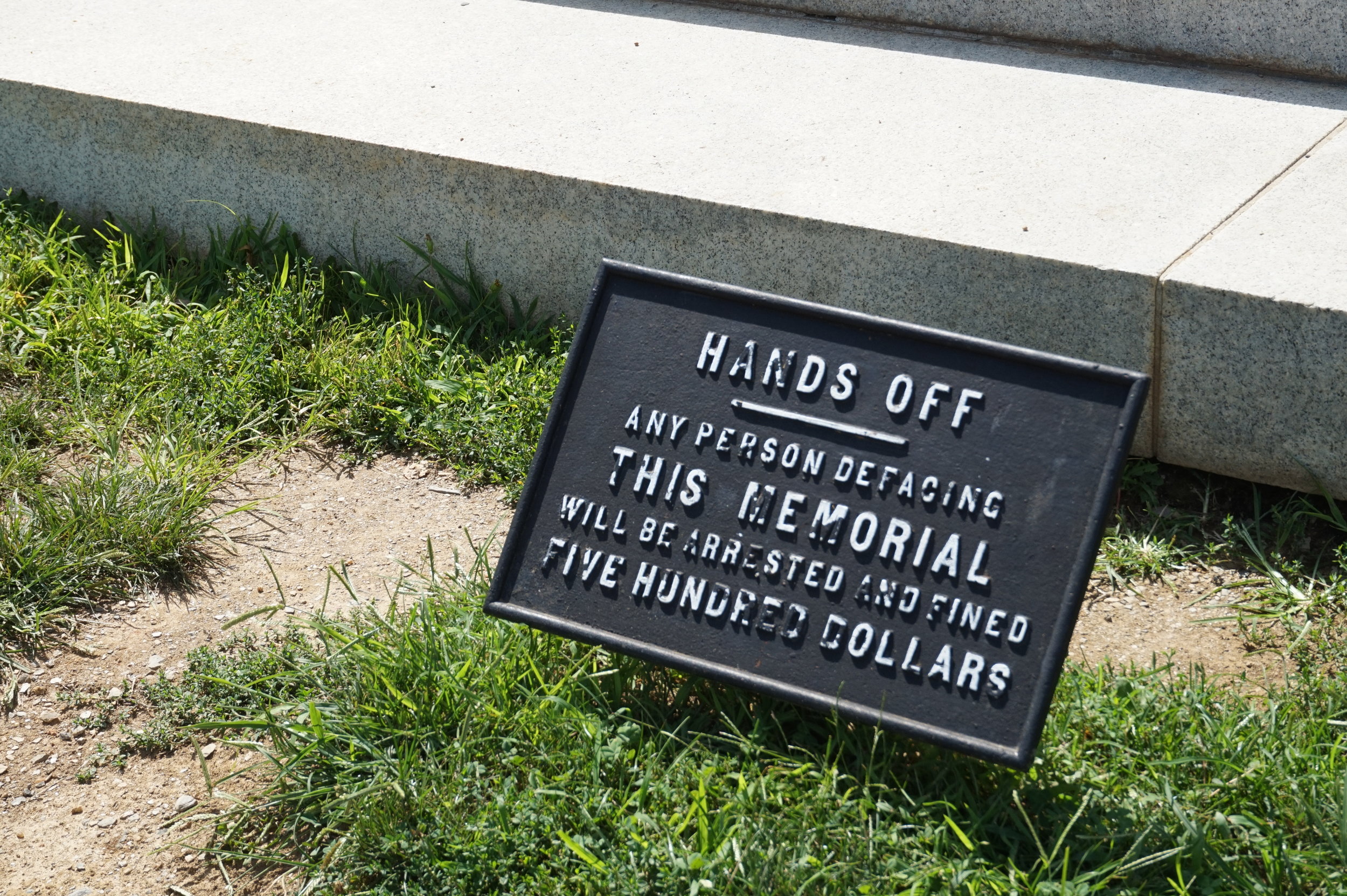
A word of warning below the Robert E. Lee statue.
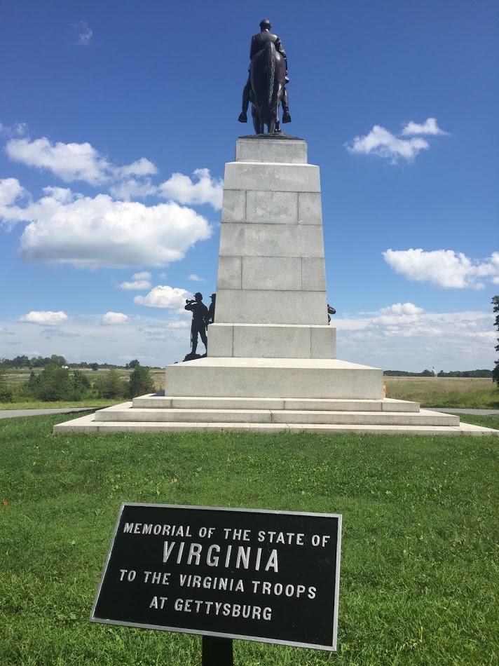
The Virginia Memorial; beyond, the large open field where "Pickett's Charge" took place.
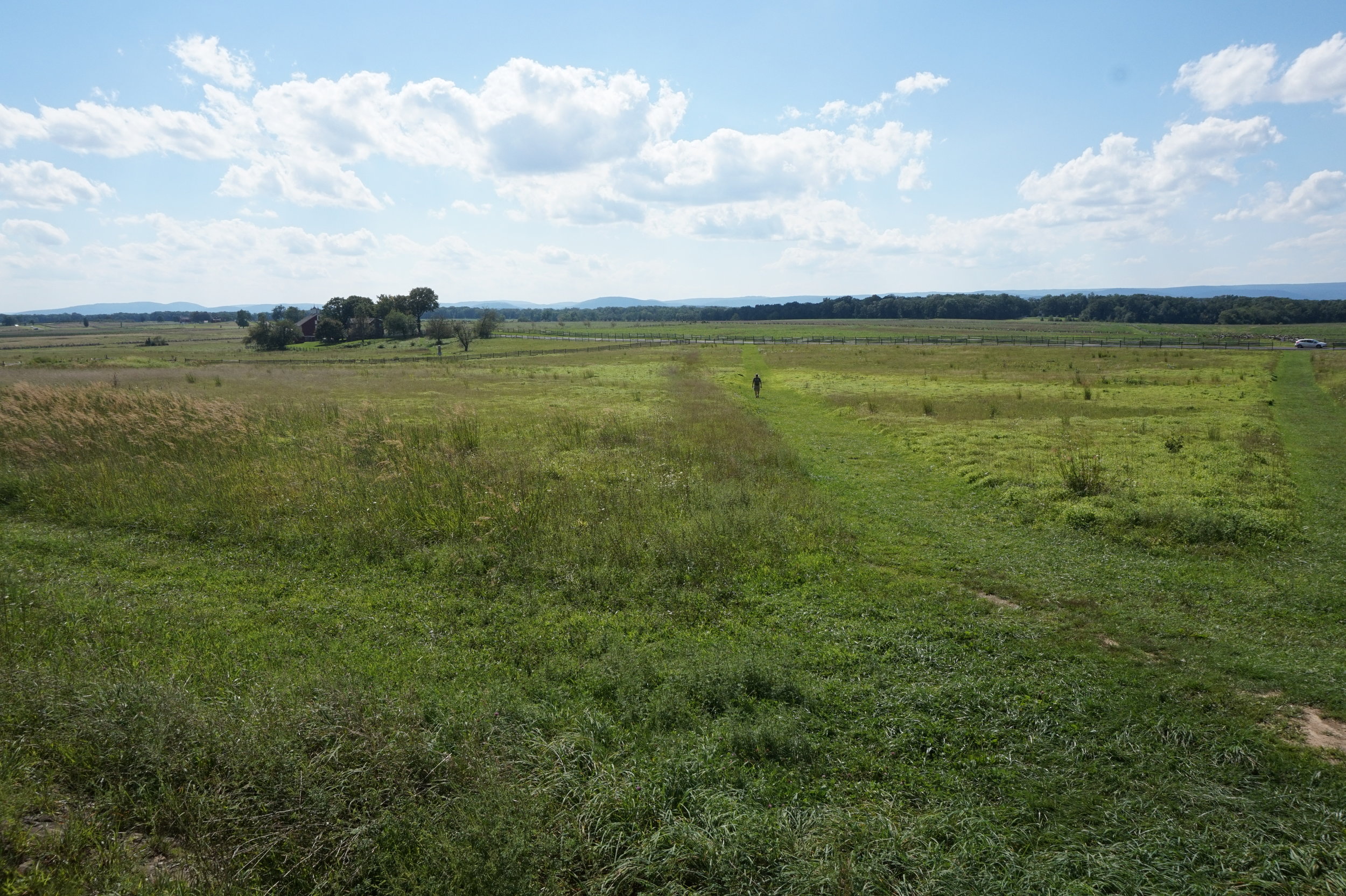
The open field crossed by 12,500 Confederate soldiers during Pickett's Charge.
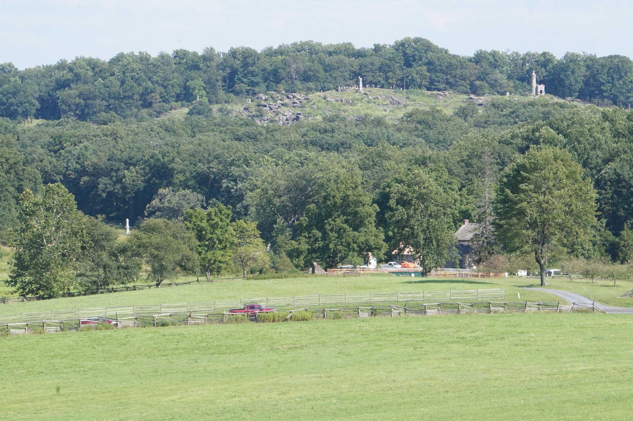
Little Round Top, viewed from an observation tower near Millerstown Road.
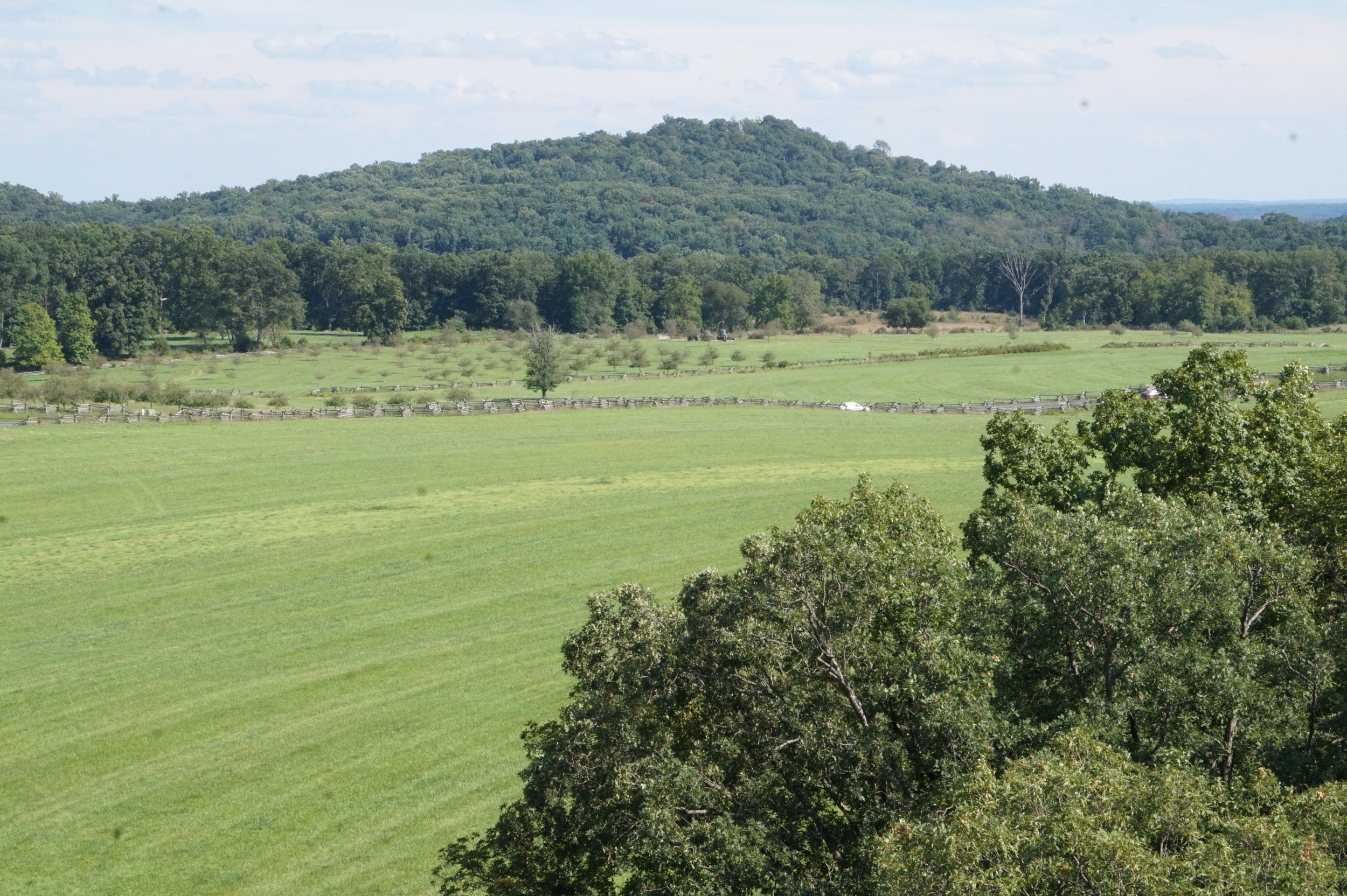
Big Round Top, viewed from the observation tower near Millerstown Road.

A panoramic view looking downhill from the summit of Little Round Top.
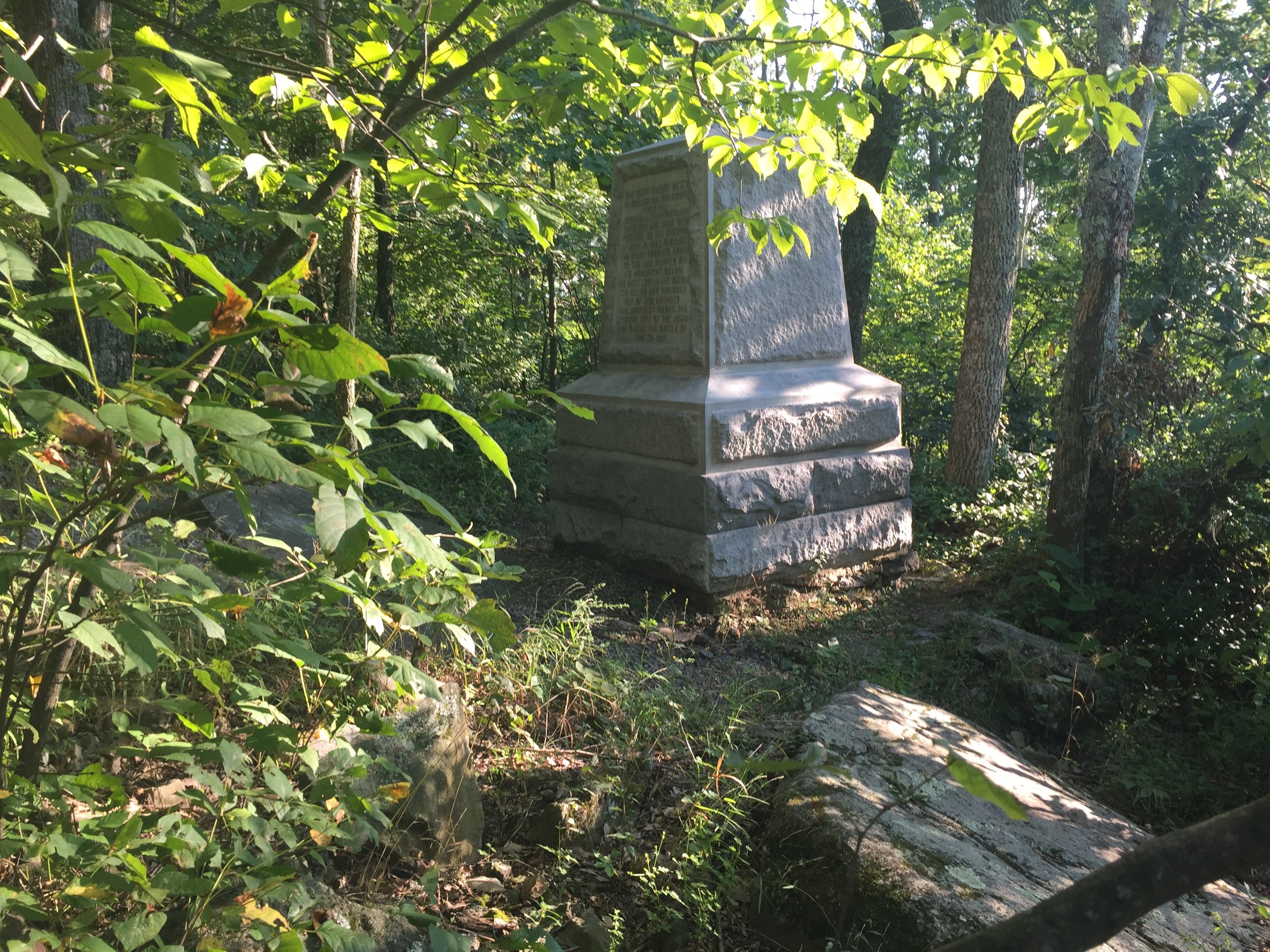
A monument marking the position of the right flank of Lieutenant Colonel Joshua Lawrence Chamberlain's 20th Maine brigade on Big Round Top.
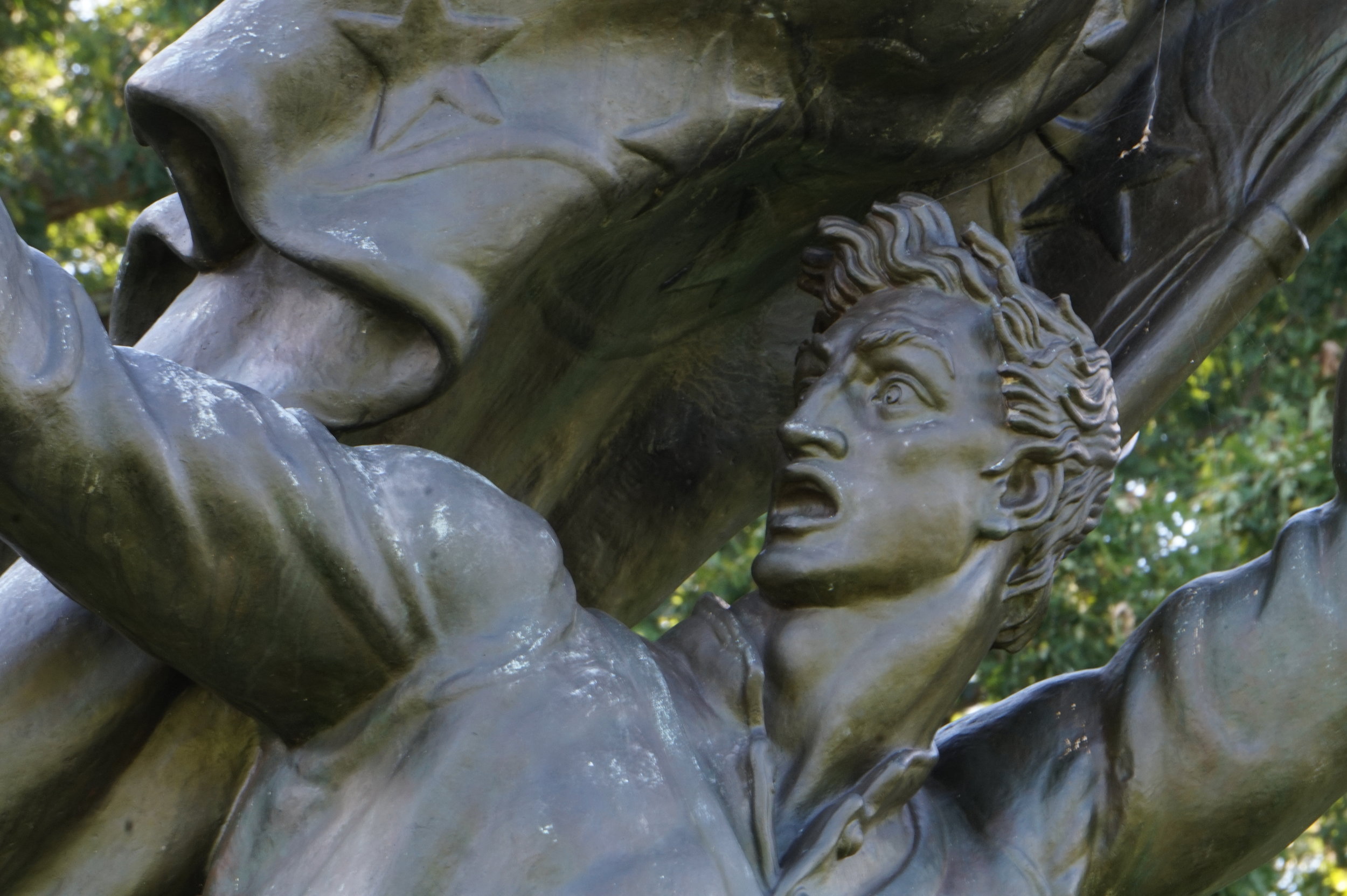
Memorial to the Soldiers and Sailors of the Confederacy. The base of the statue reads: "HEROIC DEFENDERS OF THEIR COUNTRY...THEIR FAME SHALL BE AN ECHO AND A LIGHT UNTO ETERNITY."
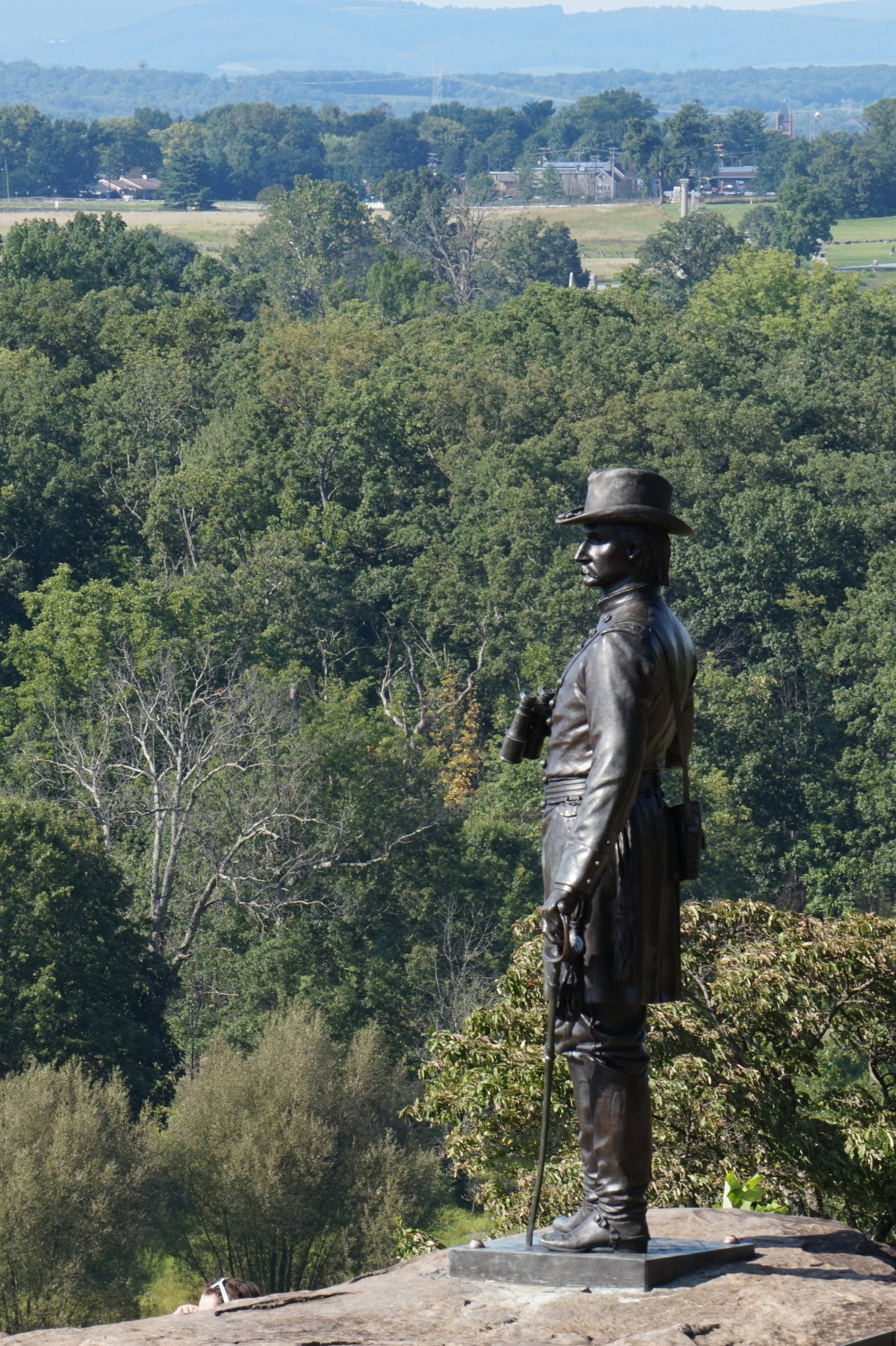
Monument to Governeur Kemble Warren, a military engineer famous for arranging for the last-minute defense of Little Round Top on July 2, 1863.
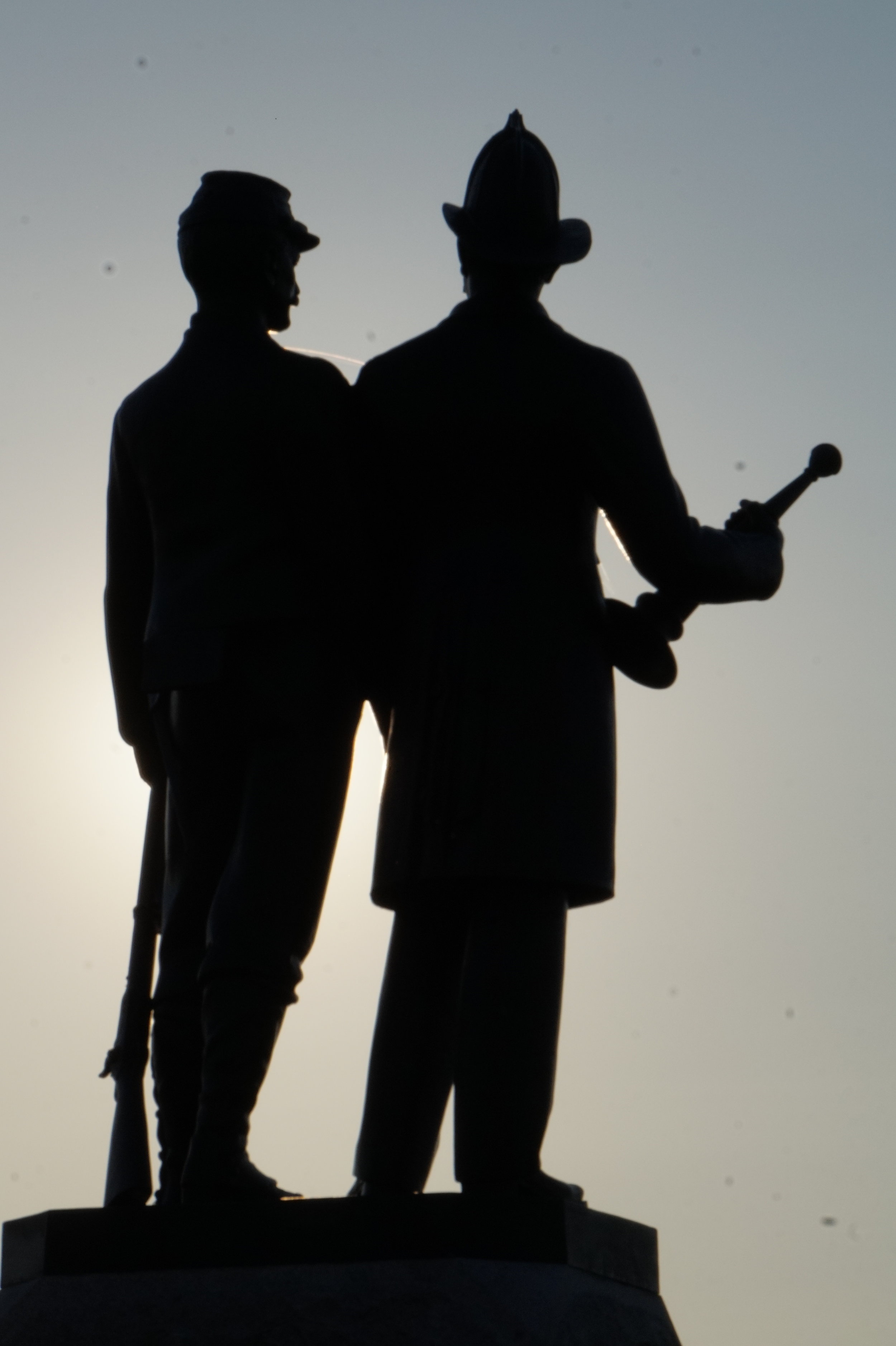
Monument to the New York Second Fire Zouaves.
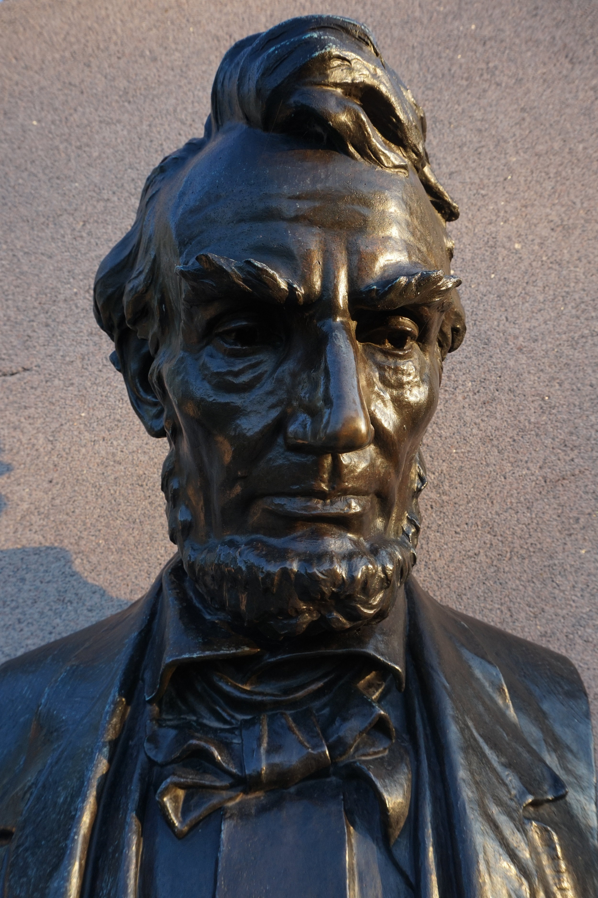
Bust of Abraham Lincoln at the Soldiers' National Cemetery, where he delivered the Gettysburg Address on November 19, 1863.
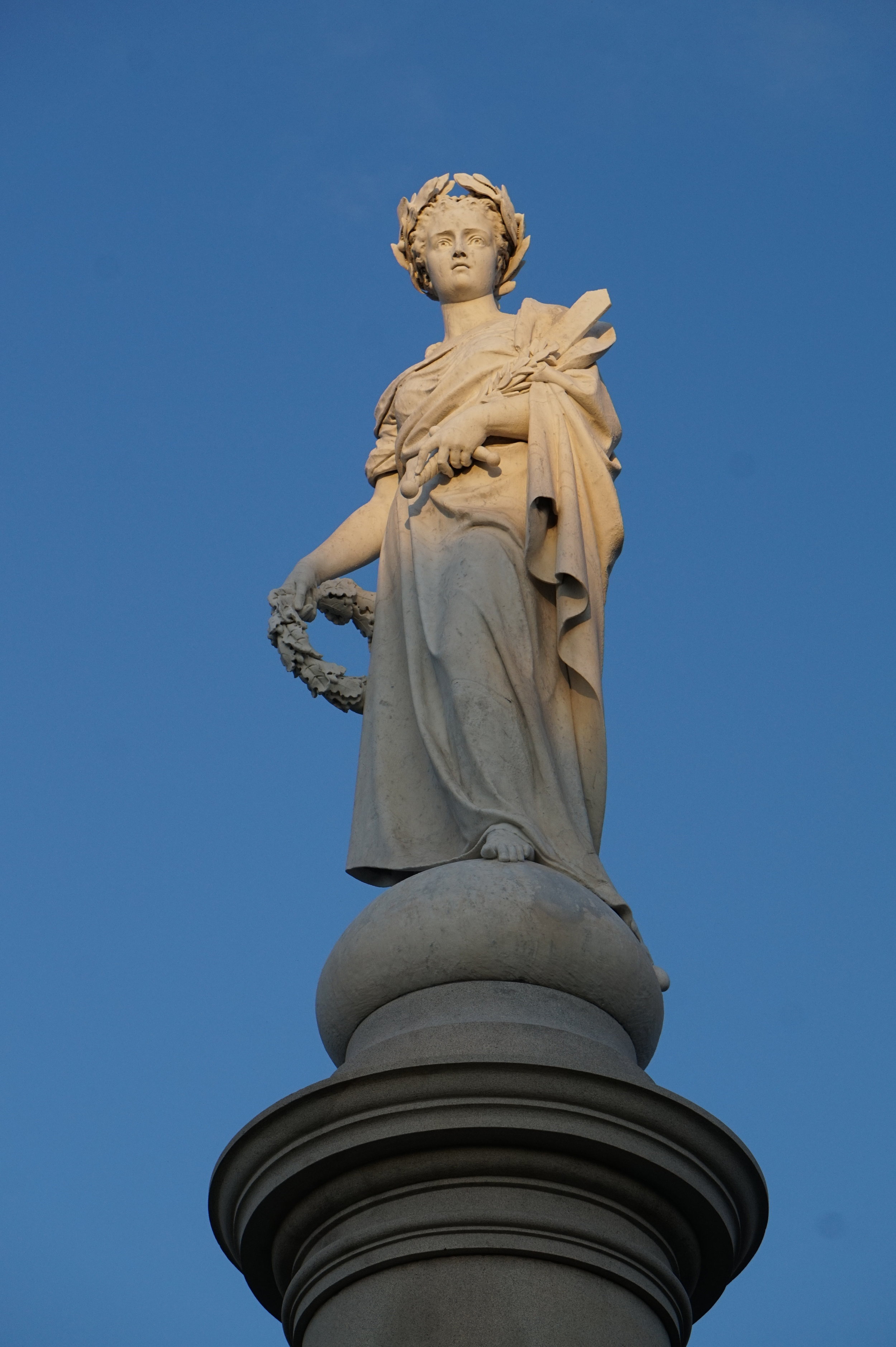
Liberty, the statue crowning the Soldiers' National Monument.
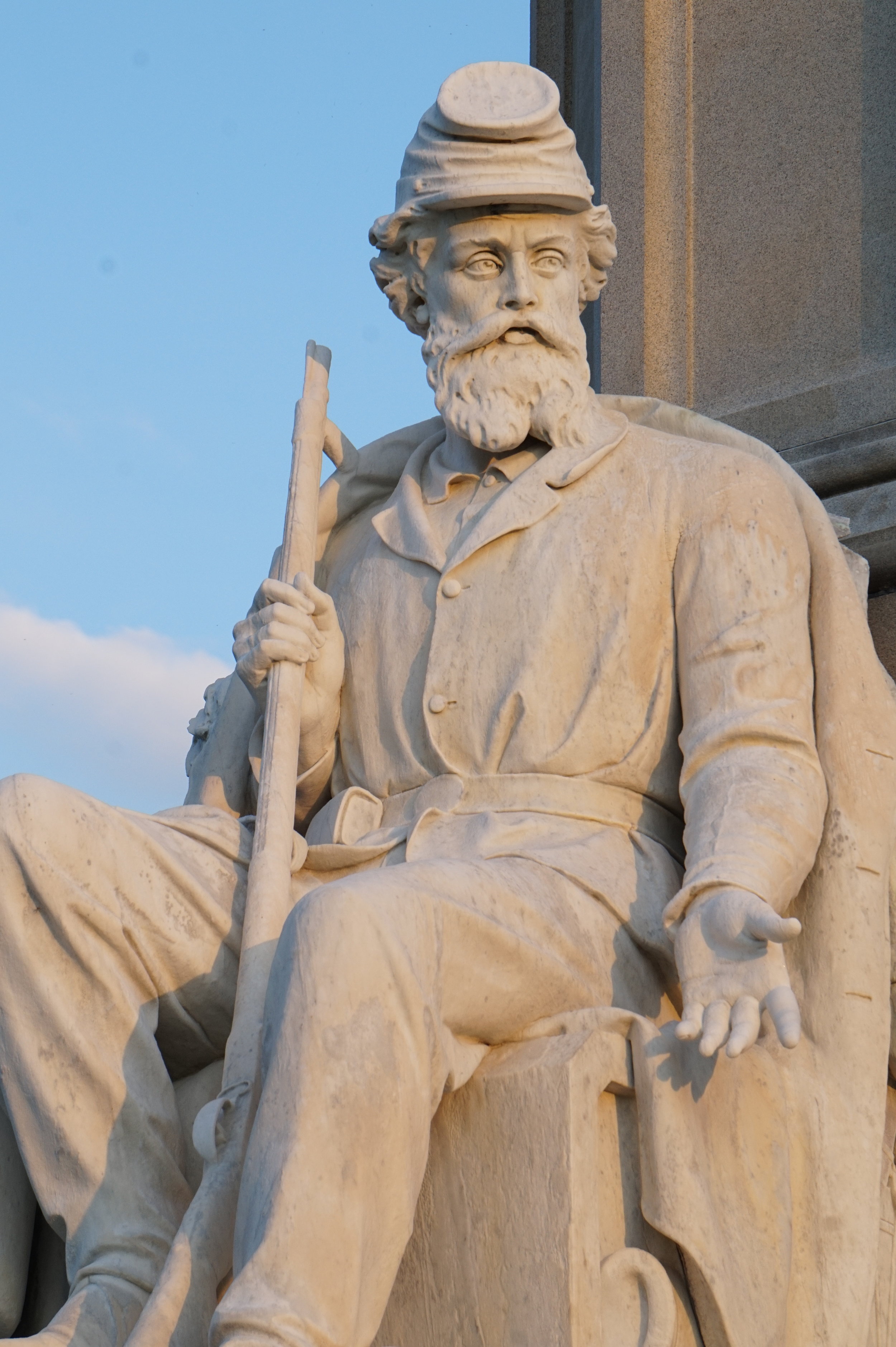
The statue representing War at the base of the Soldiers' National Monument.
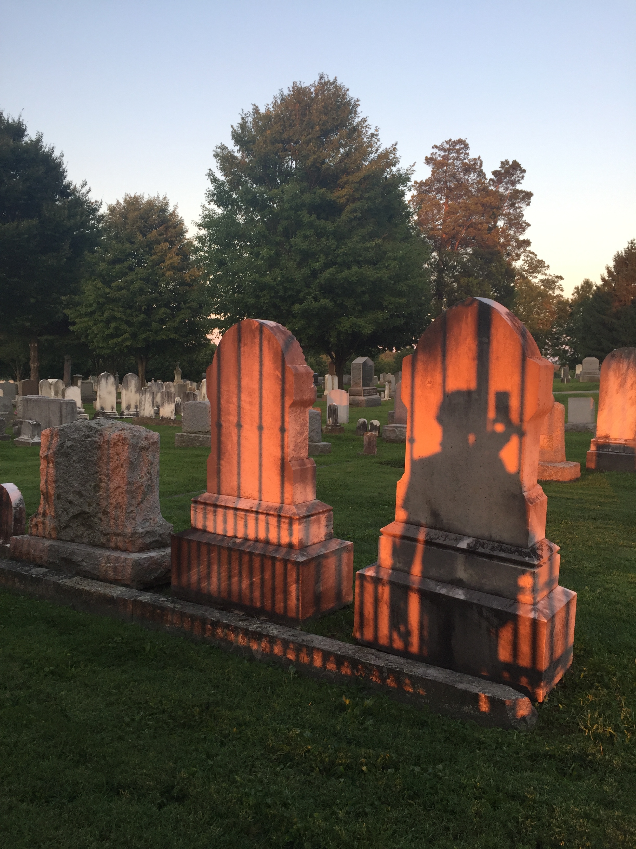
Gravestones on Cemetery Hill.
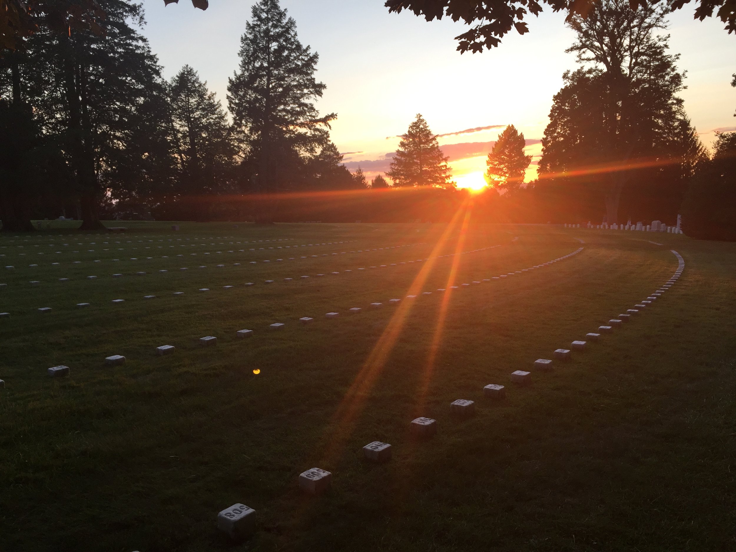
Sunset at the Soldiers' National Cemetery, from the spot where Lincoln delivered his address.
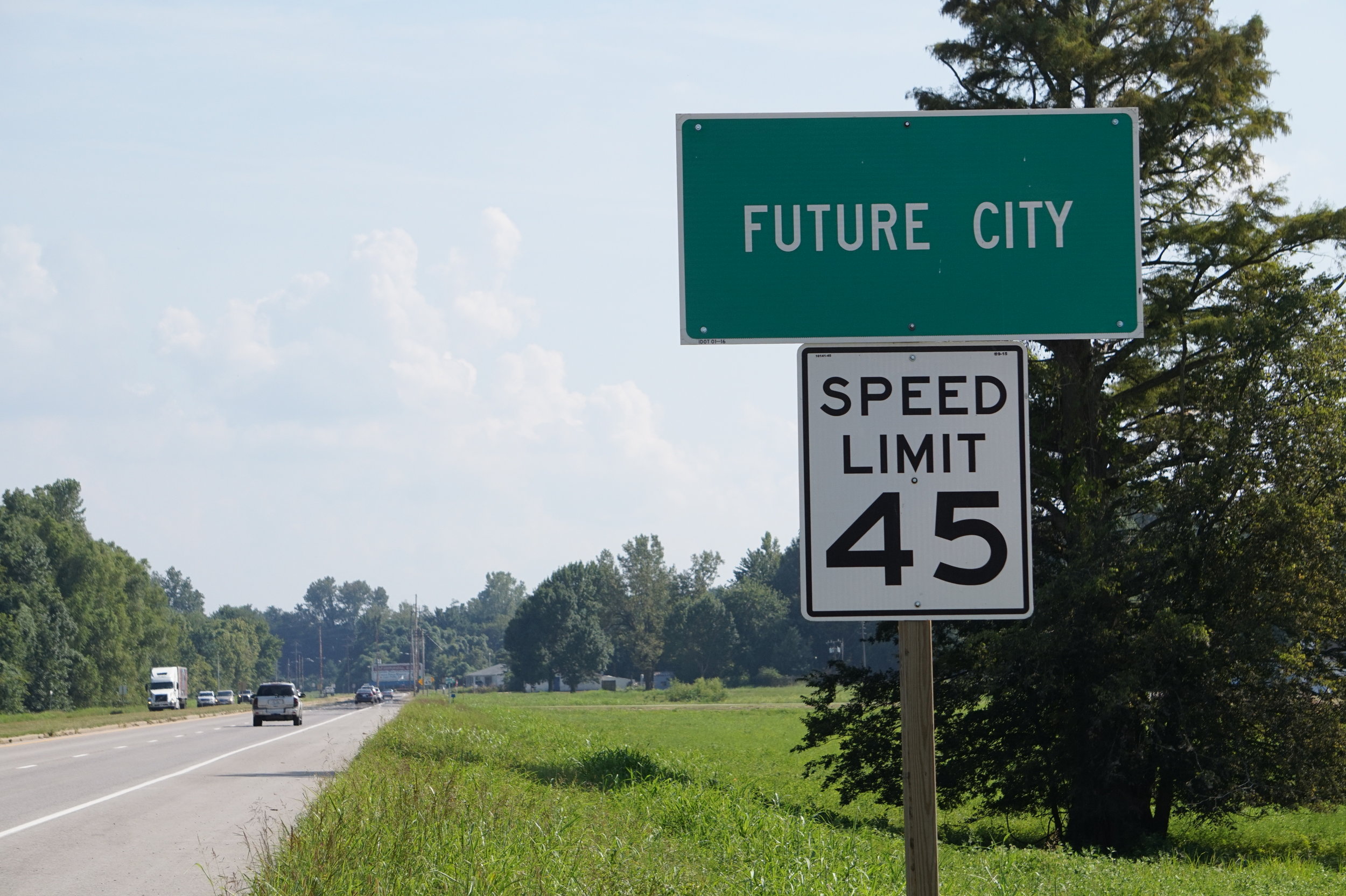
The Future City marker on US 51 approaching Cairo, IL.
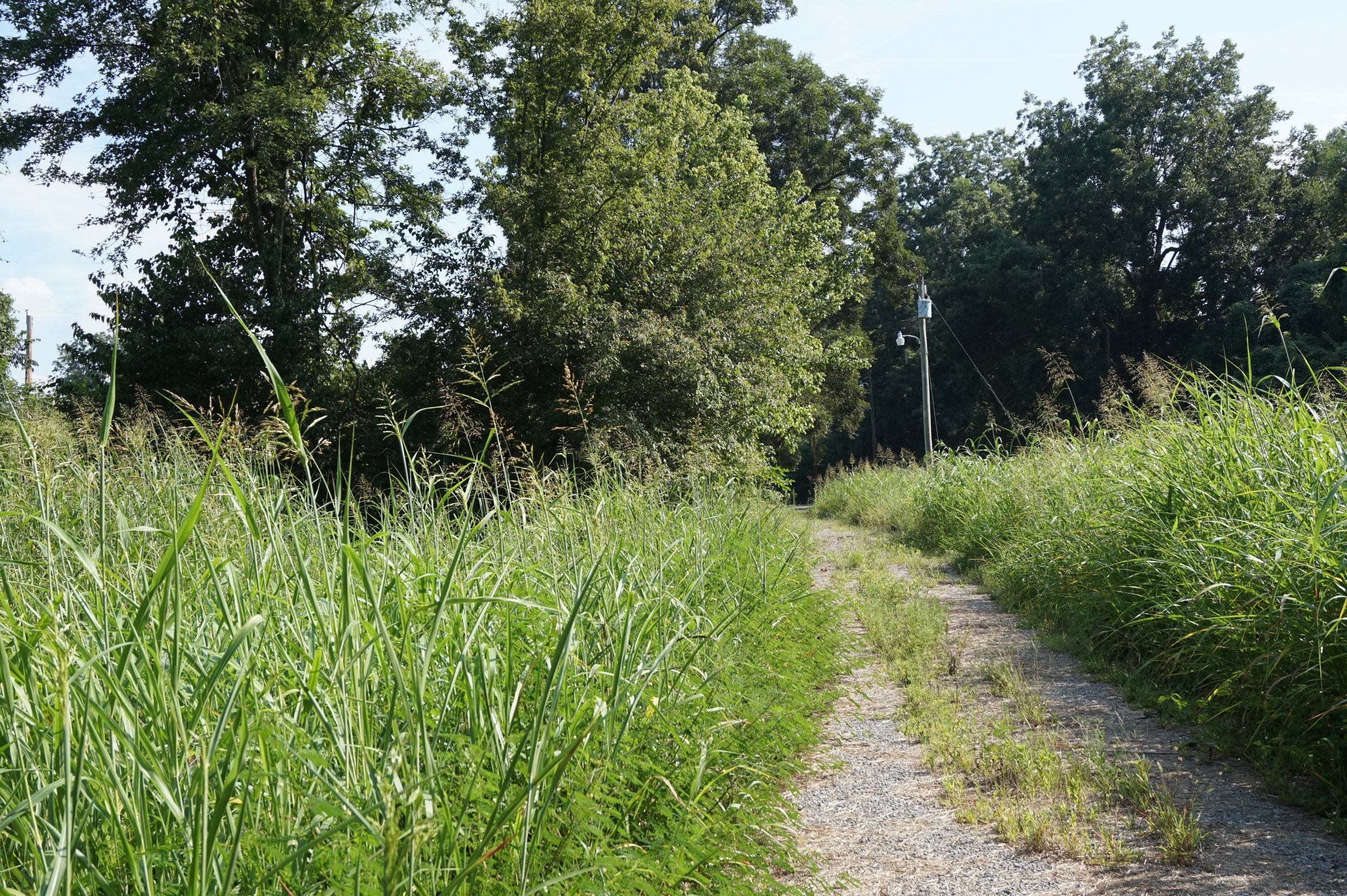
A typical street in Future City.
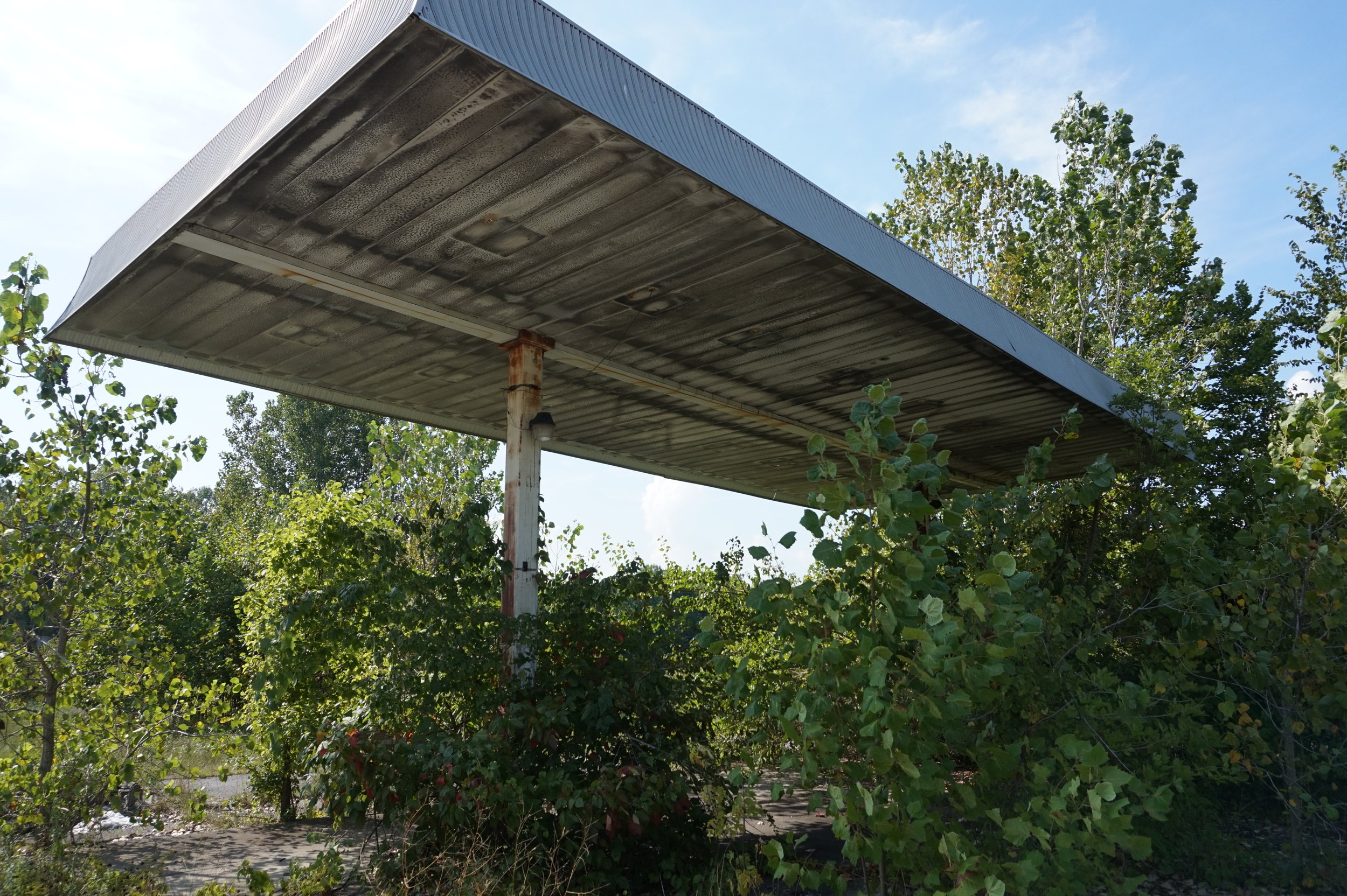
Abandoned gas station at the end of First St. in Future City.
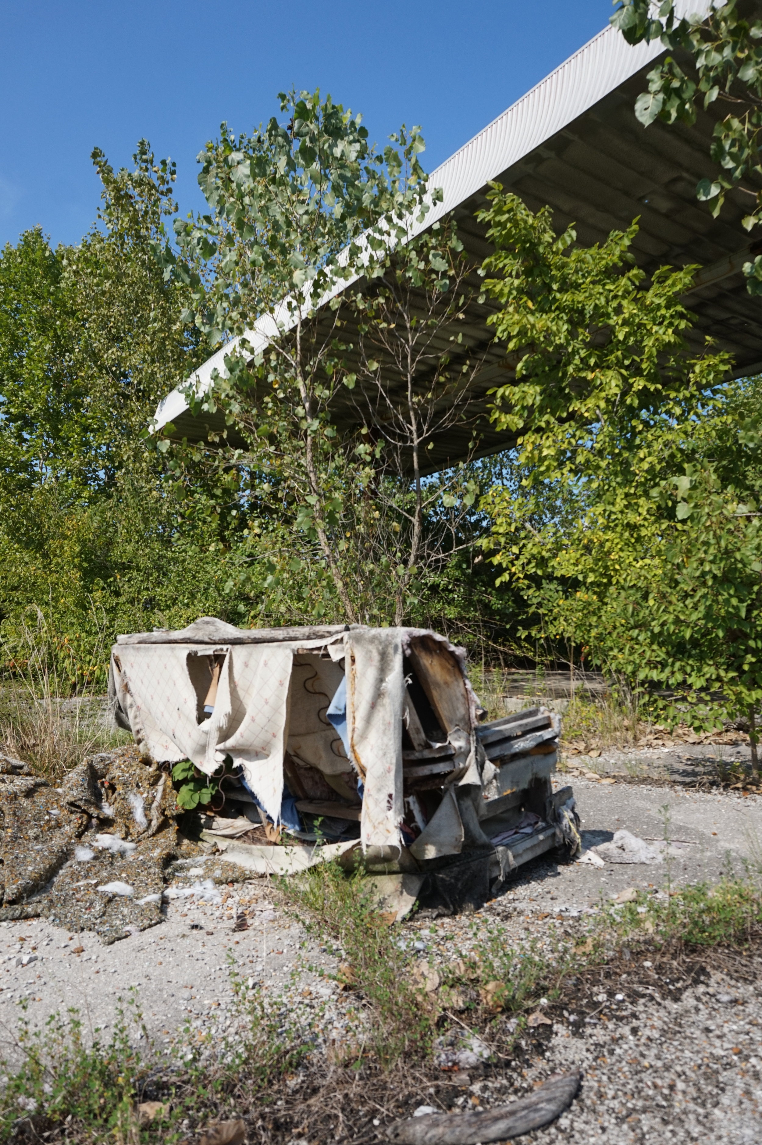
Abandoned couch at the old gas station plaza in Future City.
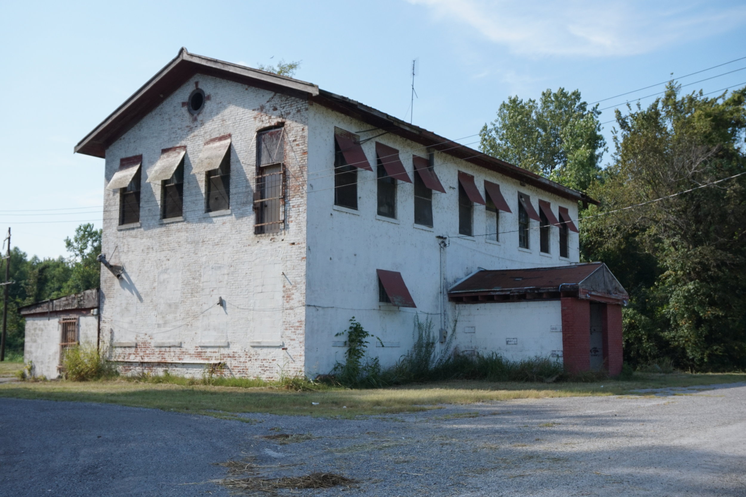
Abandoned tavern; this is the building that appears in most online references to Future City.
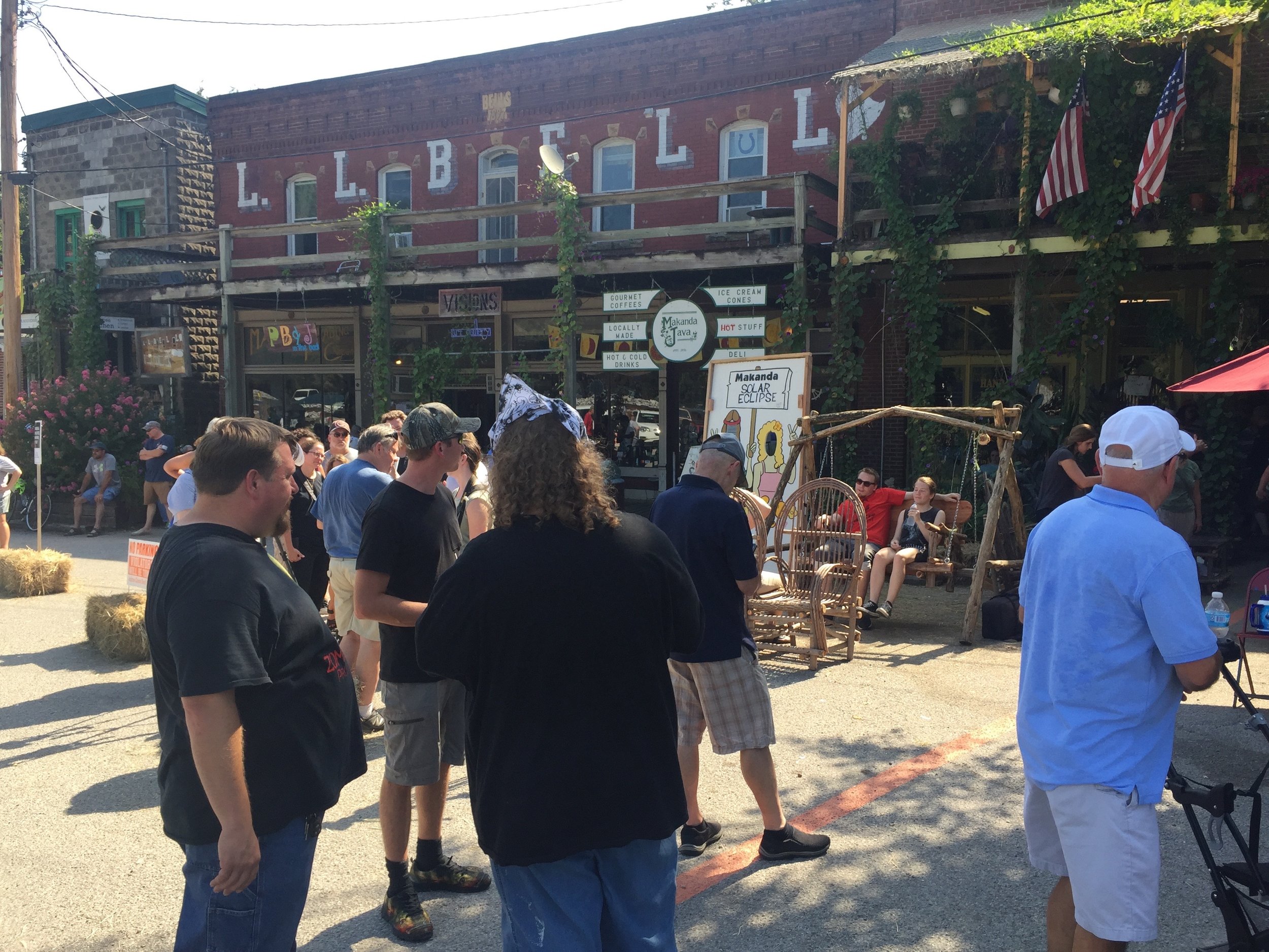
Downtown Makanda, Illinois.
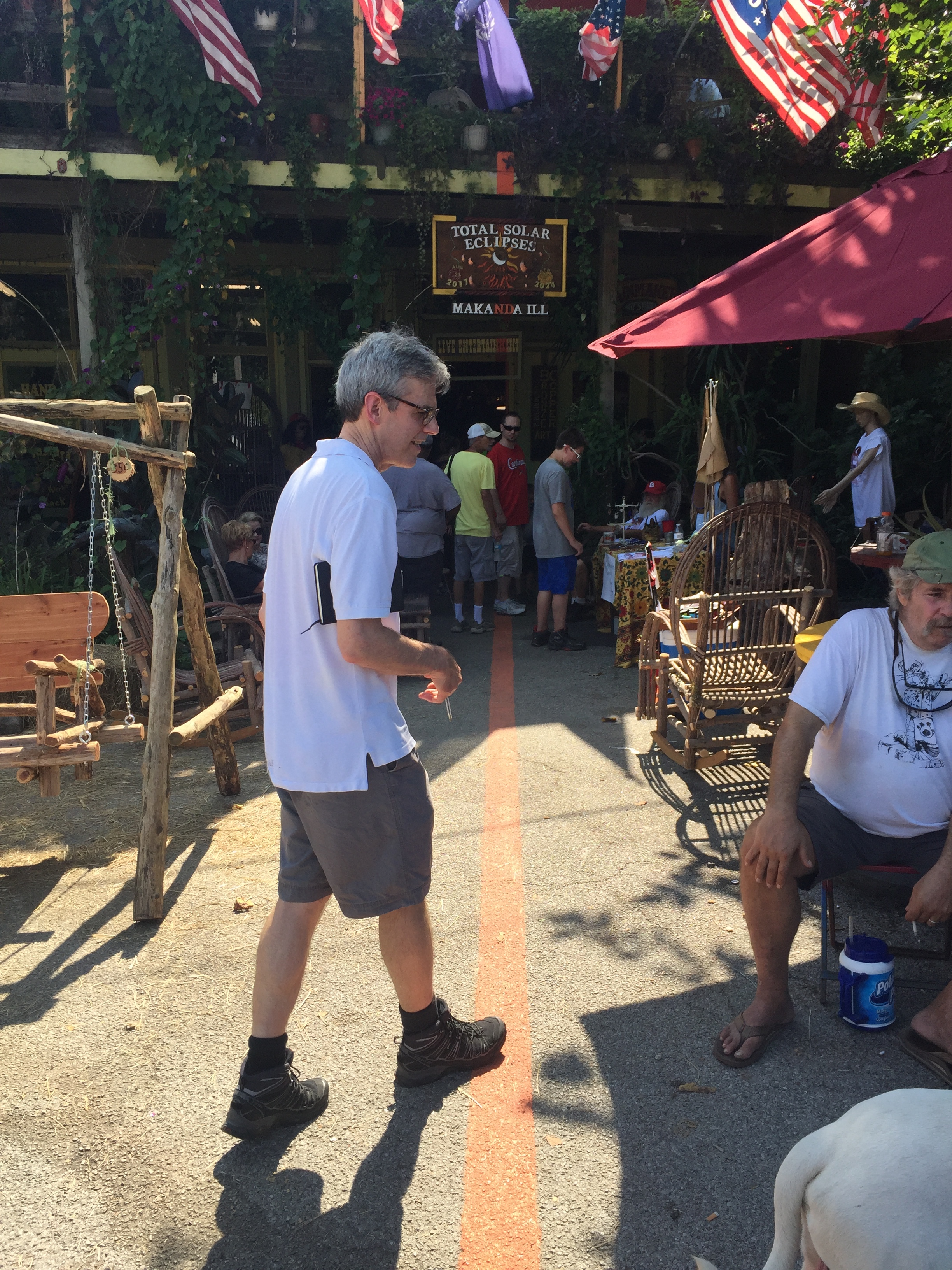
The orange line painted down the center of Makanda, IL, allegedly representing the geographic center of the eclipse—the longitude where totality lasted the longest.
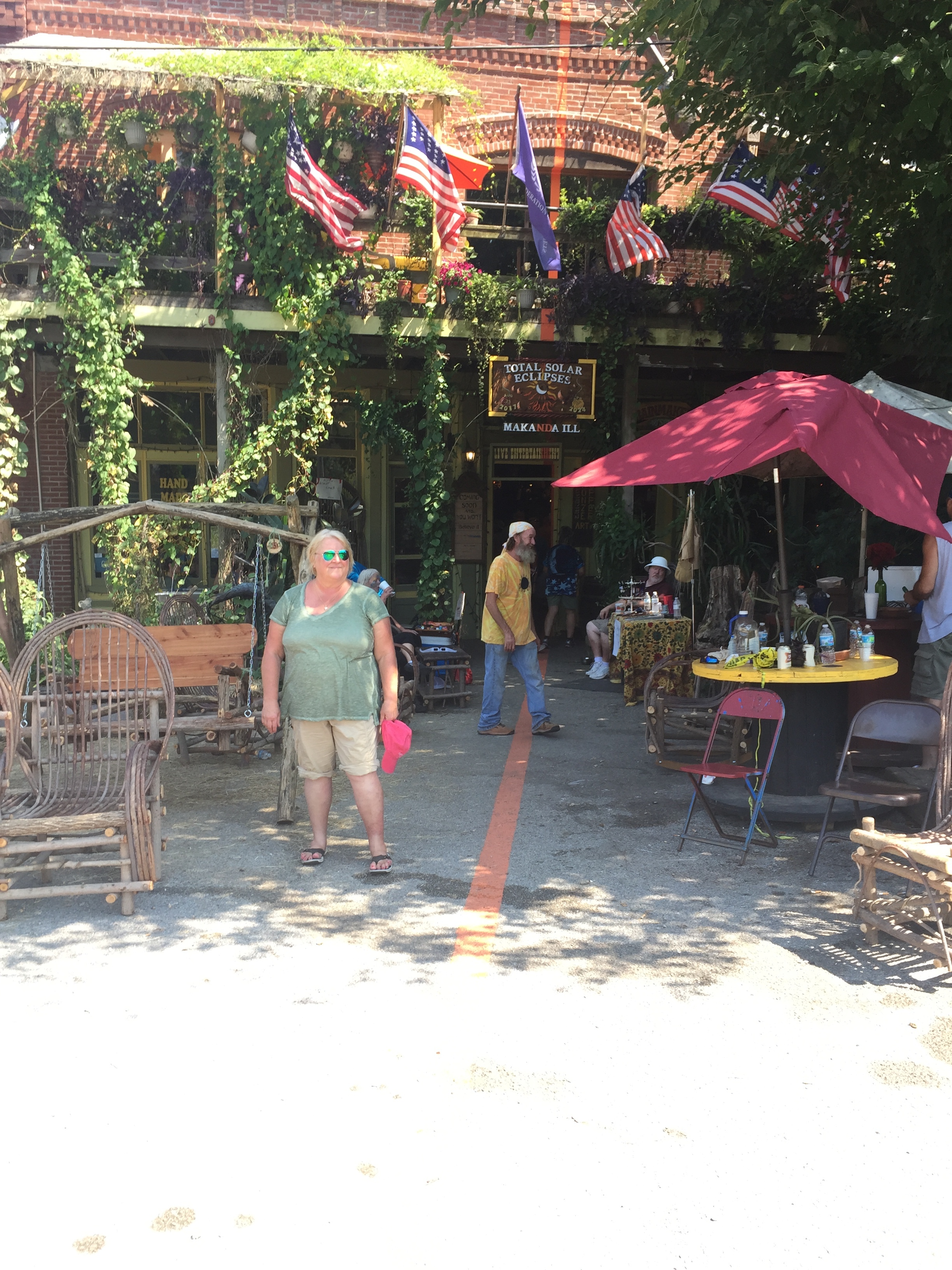
Another view of the orange line representing the geographic center of the zone of totality.
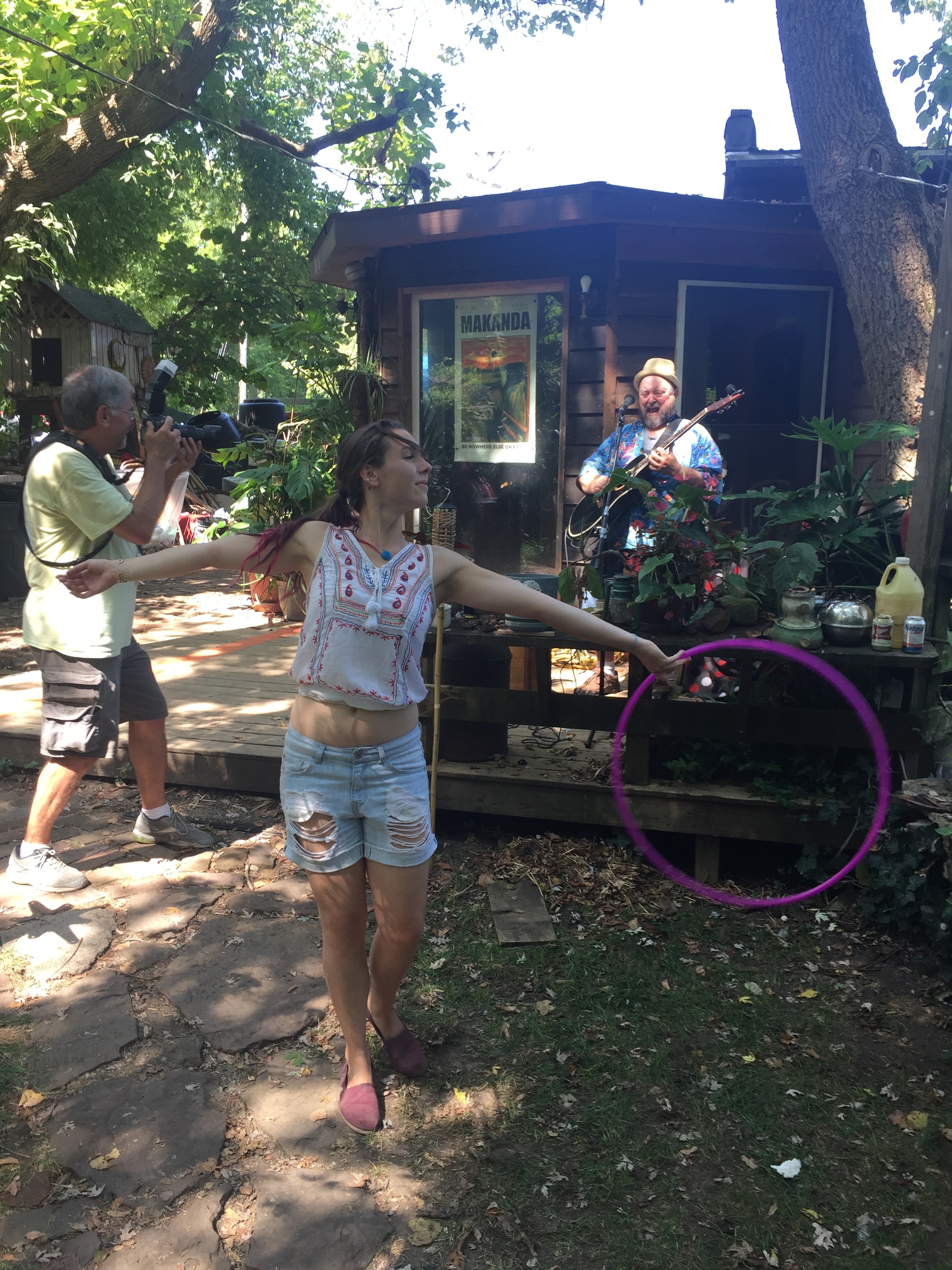
Dancer and guitarist performing in the garden behind the Rainmaker Studio in Makanda.
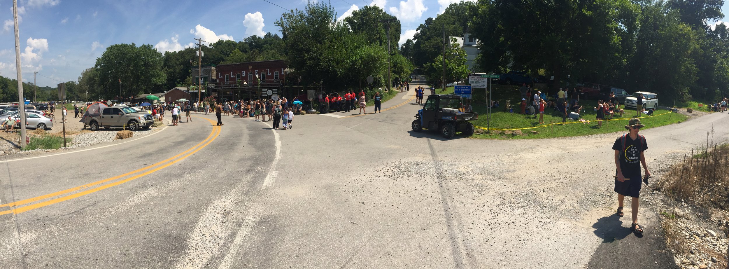
A panorama at the main intersection in central Makanda: Baptist Hill Road and Old Lower Cobden Road.
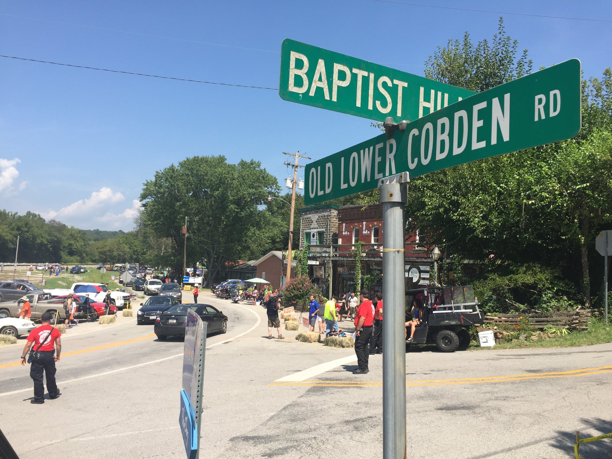
Central Makanda. This is the spot where I watched the eclipse with Tamar Avishai and her family.
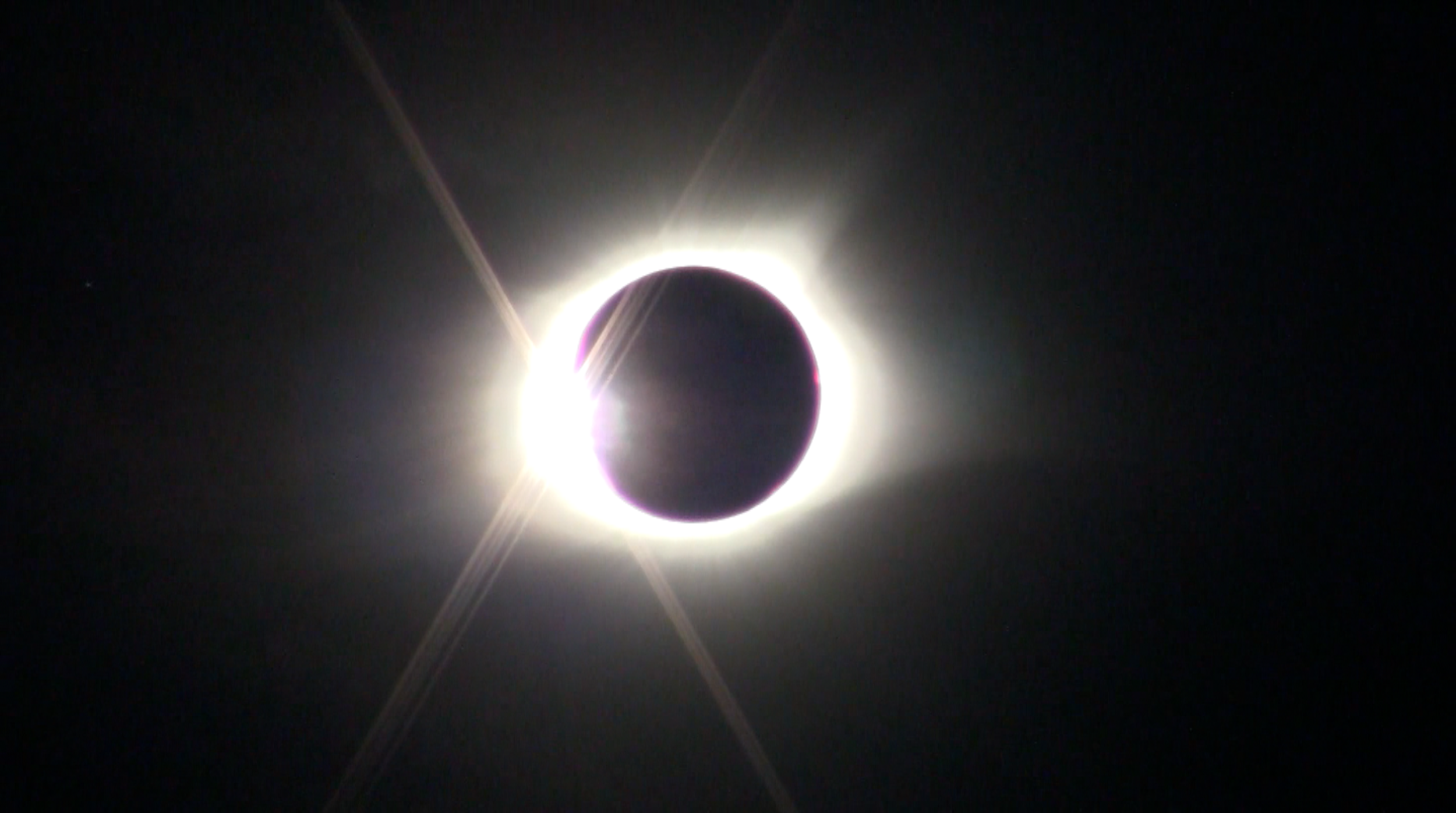
The last moment before totality at 1:21 pm CDT, August 21, 2017. (Still image from the video made with my Canon Vixia video camera.)


